All drone jobs
Aerial Surveying & Photogrammetry across Malaysia
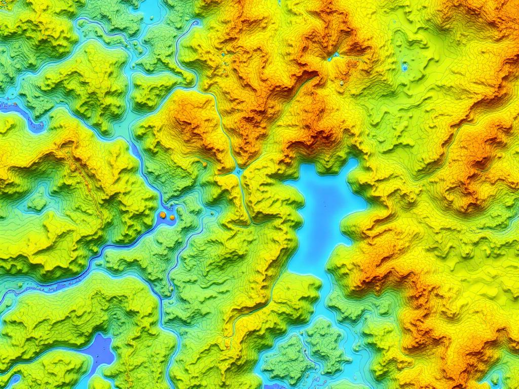
Cadastral, contour and topographical mapping. Scope the mission once and receive competitive quotes from verified Malaysian operators, each with permit strategy, lead time and a transparent 3% platform fee on payout.
Orthomosaic (GeoTIFF)
DSM/DTM
Contour DXF
Survey report (PDF)
Permits assessed upfront
JUPEM APK, CAAM ATF under CAD 601, MCMC spectrum and PDRM clearances are flagged per mission with lead times.
Verified operators only
RCoC-B, UASOC/UAWC and aviation insurance are audited before an operator can submit a quote.
Escrow-backed payment
Funds are held on award and released on permit proof, flight log and deliverable sign-off.