
Infrastructure Drone Inspection Services in Malaysia
Enhance structural audits and safety across Malaysia's bridges, highways, and utilities with qualified CAAM-certified enterprise drone inspection teams.
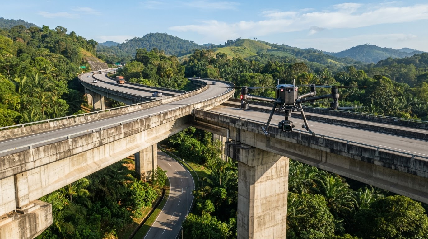
Managing civil engineering assets in our tropical climate presents harsh operational realities. High relative humidity, intense solar radiation, and torrential monsoon downpours accelerate concrete spalling, carbonation, and structural steel corrosion. For asset owners and municipal authorities, implementing regular infrastructure drone inspection malaysia programmes has shifted from an experimental trial to an operational necessity, displacing hazardous rope-access teams and disruptive road closures with high-fidelity remote sensing.
Whether assessing concrete piers along the North-South Expressway, inspecting elevated rail viaducts in Klang Valley, or monitoring transmission corridors across rural terrain, modern commercial unmanned aerial vehicles (UAVs) provide millimetre-level visual audits while keeping engineers safely on the ground.
Key Applications of Infrastructure Drone Inspection in Malaysia
Highway Viaducts and Bridges
Malaysia's elevated highways, river crossings, and marine bridges demand meticulous sub-structure and super-structure monitoring. Executing a dedicated bridge inspection operation enables civil engineers to assess hard-to-reach bridge bearings, expansion joints, pier caps, and drainage scuppers. Sub-deck inspections—traditionally requiring scaffold staging or mobile elevated working platforms (MEWPs) that force lane shutdowns—can be flown in hours without disrupting highway traffic.
Slopes, Embankments, and Retaining Walls
Rain-induced slope failures along trunk roads (such as the East-West Highway or routes through Cameron Highlands) represent recurring safety hazards. High-resolution orthomosaics coupled with LiDAR scanning allow geotechnical teams to strip away dense jungle canopies digitally, revealing true ground topography, tension cracks, and early signs of soil subsidence before catastrophic mass movements occur.
Utility Networks and Power Transmission
High-voltage transmission towers and cross-country pipelines run across rugged Malaysian terrain. Conducting an asset integrity inspection on power lines identifies fractured ceramic insulator discs, hot spots on conductor clamps, and vegetation encroaching into clearance zones, all without taking the line out of service.
Technical Payloads and Sensor Selection
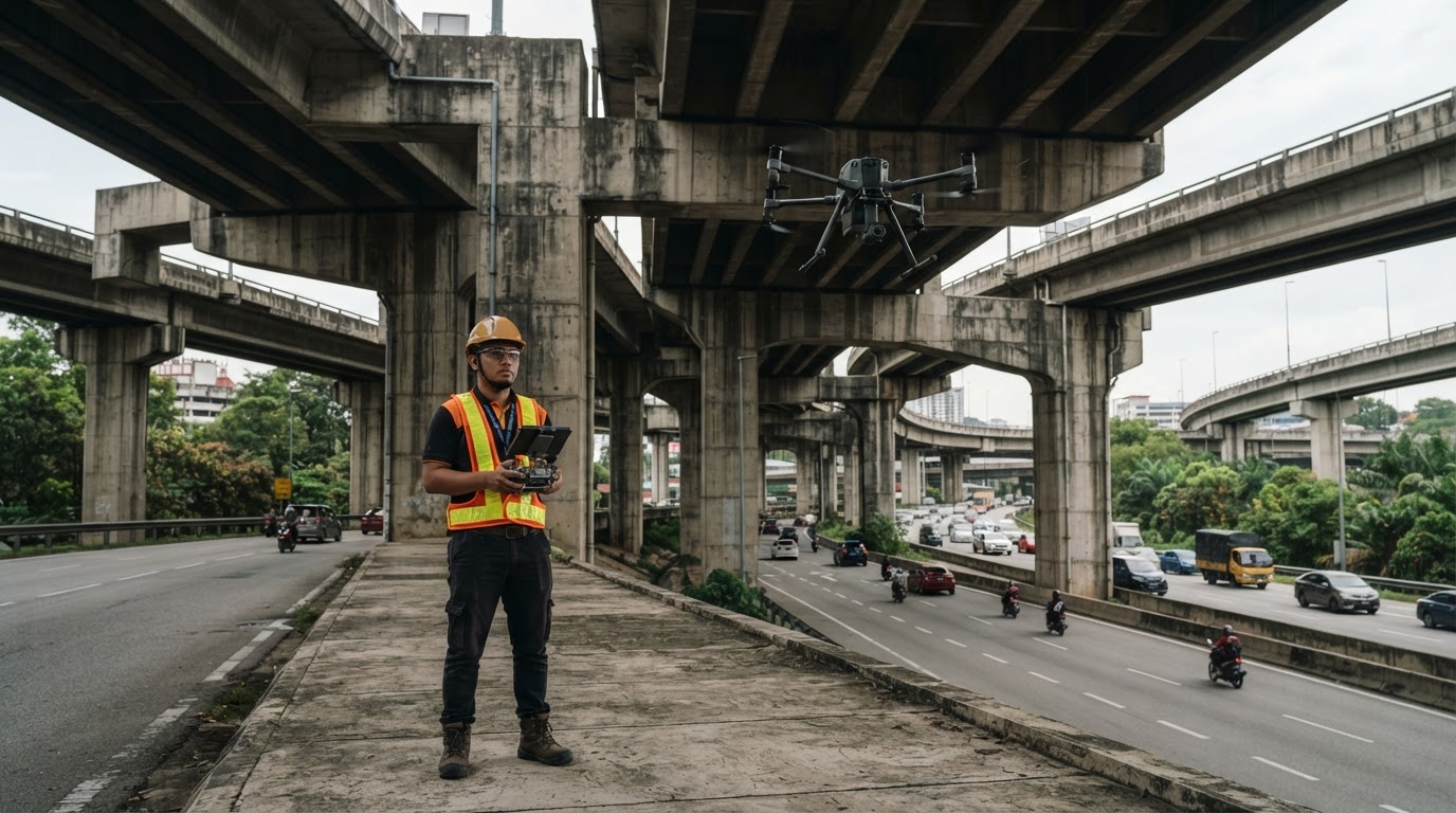
Successful structural audits depend entirely on deploying the correct payload for the structural material and defect type:
- High-Resolution Photogrammetry (45MP+ Full-Frame): Used to produce digital twins and detect concrete micro-cracks (<0.2 mm) on bridge decks and retaining walls.
- Optical Radiometric Thermal (FLIR / Dual-Sensor): Detects internal concrete delamination, subsurface voids, water ingress beneath waterproofing membranes, and electrical substation overheating.
- High-Magnification Optical Zoom (Up to 200x hybrid): Enables pilots to hover safely beyond strong induction zones or away from fast-moving traffic while reading manufacturer plates on pylons or inspecting bolt torques.
- Terrestrial & Airborne LiDAR: Critical for bridge deflection profiling, clearance verification above shipping channels, and structural deformation tracking over time.
Drone Audits vs. Conventional Inspection Methods
| Operational Metric | Conventional Scaffolding / MEWP | Rope Access (Abseiling) | Commercial Enterprise UAV |
|---|---|---|---|
| Setup Time | Days to weeks | Several hours | 15 to 30 minutes |
| Traffic Disruption | Full or partial lane closures | Intermittent lane diversions | Zero to minimal shoulder impact |
| Personnel Risk | High (working at heights) | Critical (direct suspension) | Negligible (ground-based) |
| Data Format | Subjective 2D field notes & photos | Spot photography | Geotagged 3D digital twins & heatmaps |
| Inspection Speed | 50–100 m per shift | 100–200 m per shift | 1–3 km per shift |
Overcoming Operating Realities in the Malaysian Field
Deploying enterprise UAVs in local civil environments is not without technical hurdles. Certified flight crews regularly contend with specific regional challenges:
GPS-Denied Flight Beneath Bridge Decks
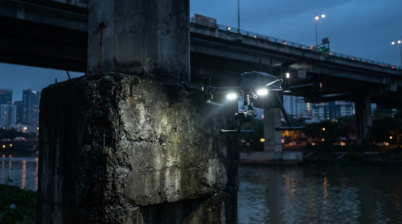
Under reinforced concrete bridge decks or within deep cut-and-cover rail corridors, satellite GNSS signals attenuate or drop entirely. Pilots performing structural inspections must deploy UAV platforms equipped with multi-directional visual positioning sensors, Time-of-Flight (ToF) rangefinders, and continuous LED auxiliary illumination to maintain rock-solid hover stability without compass confusion.
Electromagnetic Interference (EMI)
Flying near Tenaga Nasional Berhad (TNB) high-voltage infrastructure requires dual-antenna RTK (Real-Time Kinematic) systems immune to magnetic distortion. Conventional magnetic compasses often fail near active transmission lines or heavy structural rebar, making RTK-locked navigation vital to prevent uncommanded yaw movements.
Microclimates and Convective Storms
Mid-afternoon convective storms are a daily reality in Peninsular Malaysia and Borneo. Drone teams must schedule critical structural flights for early morning windows to avoid gust fronts and intense midday thermal air currents rising from asphalt surfaces, which introduce camera shake and degrade photogrammetric sharpness.
Regulatory Compliance and Pilot Licensing
Commercial infrastructure inspections fall strictly under the oversight of the Civil Aviation Authority of Malaysia (CAAM). In accordance with Civil Aviation Directives (CAD 6011), any remote aircraft operation conducted for commercial reward or municipal asset surveying must be flown by qualified crews under an approved operational permit.
Furthermore, when flights produce map products, 3D point clouds, or aerial coordinates, teams must coordinate with the Department of Survey and Mapping Malaysia (JUPEM) and relevant regional security authorities to obtain survey clearances. Navigating these requirements demands experienced teams; review our CAAM and JUPEM permit guide for comprehensive filing breakdowns.
Asset owners should never engage unaccredited freelance hobbyists for civil audits. Working with vetted, certified UAV pilots ensures comprehensive third-party aviation liability insurance, structured safety risk assessments, and standard operating procedures compliant with national safety standards.
Modernising Asset Integrity Programmes
As Malaysia expands its transportation corridors and industrial hubs, adopting routine infrastructure drone inspection malaysia workflows protects multi-million ringgit capital investments. UAVs convert subjective manual audits into measurable, time-stamped visual data, arming structural engineers with the precise insight required to schedule preventative interventions long before structural degradation compromises public safety.
Whether you require structural integrity audits for a municipal flyover or baseline mapping for national rail assets, you can post a drone job on DronePilot to engage certified enterprise inspection specialists across the country, or explore tailored solutions under our industrial inspection services.
Frequently Asked Questions (FAQ)
Can drones detect cracks in reinforced concrete bridges?
Yes. Enterprise drones equipped with high-resolution full-frame cameras (45MP or higher) and optical zoom lenses can resolve surface fractures as fine as 0.1 to 0.2 millimetres from safe stand-off distances.
Is a road or lane closure mandatory during a bridge drone inspection?
Generally no. Drones inspect substructures, bearings, and exterior bridge parapets without occupying roadway surface lanes, drastically cutting traffic management costs. Closures are only required if pilots must position safety cordons directly over live traffic lanes.
What permits are required for drone infrastructure surveys in Malaysia?
Operators require CAAM flight authorisation under CAD 6011, and if conducting geospatial mapping or photogrammetry, clearance from JUPEM and the Chief Government Security Office (CGSO) is mandatory.
How do drones operate in GPS-denied environments like under flyovers?
Enterprise-grade inspection aircraft use upward and downward visual positioning sensors, optical flow, and onboard auxiliary lighting systems to hold accurate, stable positions without GPS reception.